


Difficulty
Unrated
Viz (last reported 17005h ago)
Max Depth
Unknown
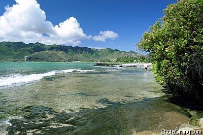
Snorkeling and Scuba Diving at Waimea Bay (wall)
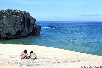
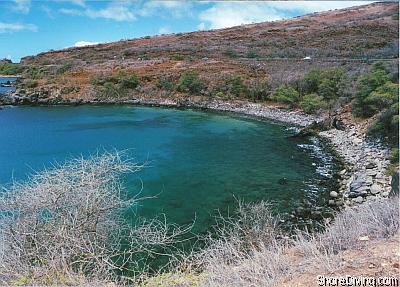
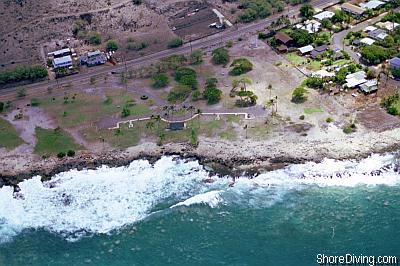
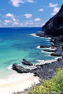
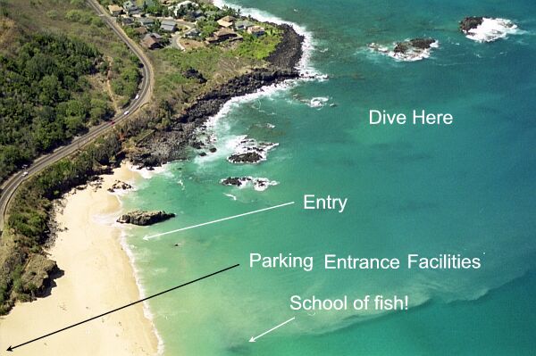
Waimea Bay is a well-groomed beach park with all the facilities. Snorkeling can be good, as at times huge schools of small fish congregate right next to the shoreline. Diving is excellent, too, around the south point of the bay.
Between dives, you might want to visit Waimea Falls Park just across the road. You can easily spend a couple of hours roaming the gardens.
Off Kamehameha Highway on the North Shore in the Waimea area.
Access
shore

View
Nearby Shops
Tide Report
5
4
3
2
1
(12)
Currently viewing a specific review. View all reviews

Jason Richards
Sep 28, 2018, 12:00 AM
scuba
I actually scootered over from firehouse, but the Bay has some interesting basalt formations (not reefs) on either side of the bay. The rocks basalt is stacked up and makes mini towers, and deeper channels which make for some interesting things to look at. There is a significant amount of fresh water intrusion from the hills above the bay (even if the river is not out flowing) which can make the water greener and hazy with halocline, particularly after a heavy rain the day previous. Compared to sharks cove, there is much less large animal life (turtles and sharks) than other sites as there are no limestone caverns here for them to hide in, unlike sharks cove and west shore sites. For the best diving, follow the shore lines either north beyond the point or south past the jumping rock. Most of the taller pinnacles are between 10 and 20 feet of depth on either side.
Other Locations Nearby